We’ve seen movies like “Outbreak” depict the horrifying and catastrophic spread of disease, and technology driven science ficktion flicks where man can predict and alter the future. What if part of that were to come true? — The future prediction part; nobody wants the spread of terrible diseases.
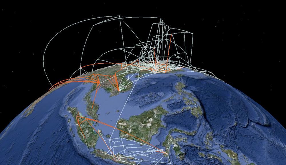
While we might not yet be able to predict the future, a San Francisco project is working to bring us a step closer by using Google Maps to predict the spread of infectious diseases. The project is part of University of California at SF’s Malaria Elimination Initiative and aims to determine where malaria will strike next, reports Singularity Hub. When an outbreak of malaria occurs, health workers can upload data on the infected patients which is then combined with real-time satellite imagery and previous Google Earth data to map anticipated areas of new outbreaks.
“With these maps, health workers will know exactly where to target their scarce resources,” stated Global Health Sciences assistant professor Hugh Sturrock in the release. “That way, they can keep fighting the disease until it’s eliminated within their borders.”
Sturrock went on to state the disease mapping’s importance, describing that when countries are close to eliminating a malaria threat they often make the mistake of cutting off efforts, opening up the possibility of the disease making a comeback.
If health workers and government officials know ahead of time about certain areas that are susceptible to an impending outbreak they can better prepare. This way officials can take action by spraying insecticide, distributing bed nets or giving antimalarial drugs just to the people in dire need instead of blanketing the entire country.
The efforts to bring this disease preventative mapping to reality began over a decade ago with Google scientist Rebecca Moore using the data from Google Earth to protect Northern California’s redwood forests. Moore sees the progression from saving trees to saving lives as a natural and exciting movement that could bring about a lot of positive change, if given the proper funding.
“We’re at an exciting moment,” she said. “We have this enormous scale of computing power that, if it’s guided in the right way, could really make some breakthroughs.”
The Google mapping tool will soon be tested in the Southern African country of Swaziland. Recent efforts in the area to eliminate malaria have reduced the number of cases by 74% since 2000 and if the mapping tool proves to be successful it will be distributed to other regions in need of prevention.

